England’s policy geographies
A ‘policy geography’ is a way of geographically dividing up the country to deliver government functions. They might include electoral geographies, local government geographies, public service geographies, or funding geographies. This page uses animated graphics to understand England’s many policy geographies, showing how they compare, (mis)align, and change.
Because these geographies change so quickly, some of these graphics are already out of date. Updates will follow as soon as is possible. If you have requests or ideas, please get in touch via LinkedIn or email.
The Clustering of ICBs
Feb 2026
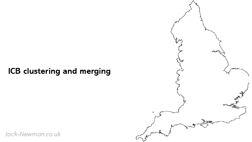
This map shows the recent reforms to Integrated Care Boards (ICBs) in England.
Progress on the English devolution map
Feb 2026
This map shows England’s emerging devolution geography, showing each place in terms of its population and status.
Spatial inequalities in productivity and governance capacity
March 2024
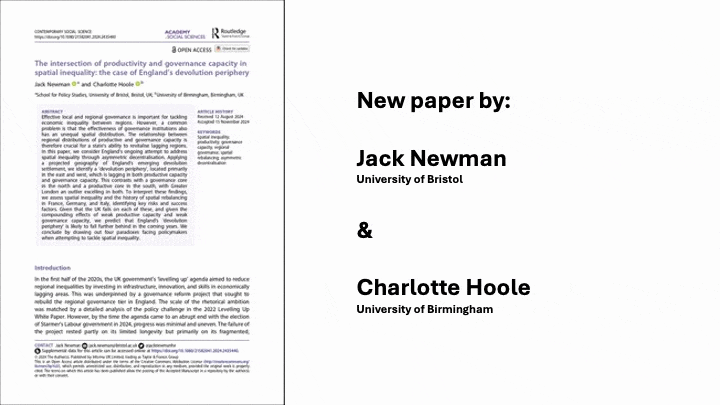
This graphic shows the spatial inequalities in productive capacity and governance capacity across England’s emerging devolution geography. The graphic summarises the findings of a recent paper: Newman, J. & Hoole, C. 2024. ‘The intersection of productivity and governance capacity in spatial inequality: the case of England’s devolution periphery’. Contemporary Social Sciences.
Local authority districts and Westminster Constituencies
Oct 2023
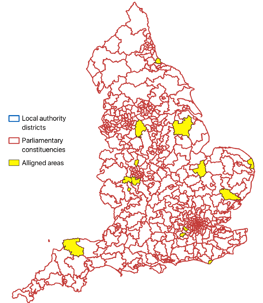
This graphic shows England’s 543 Westminster Consituencies in red and its 296 Local Authority districts in blue. They are relatively similar in scale but their borders largely misalign. The few that do align are highlighted in yellow. There are various possible advantages and disadvantages of this misalignment, but it certainly complicates potential collaboration between local and national politicians.
Incoherent policy geographies v2
March 2023
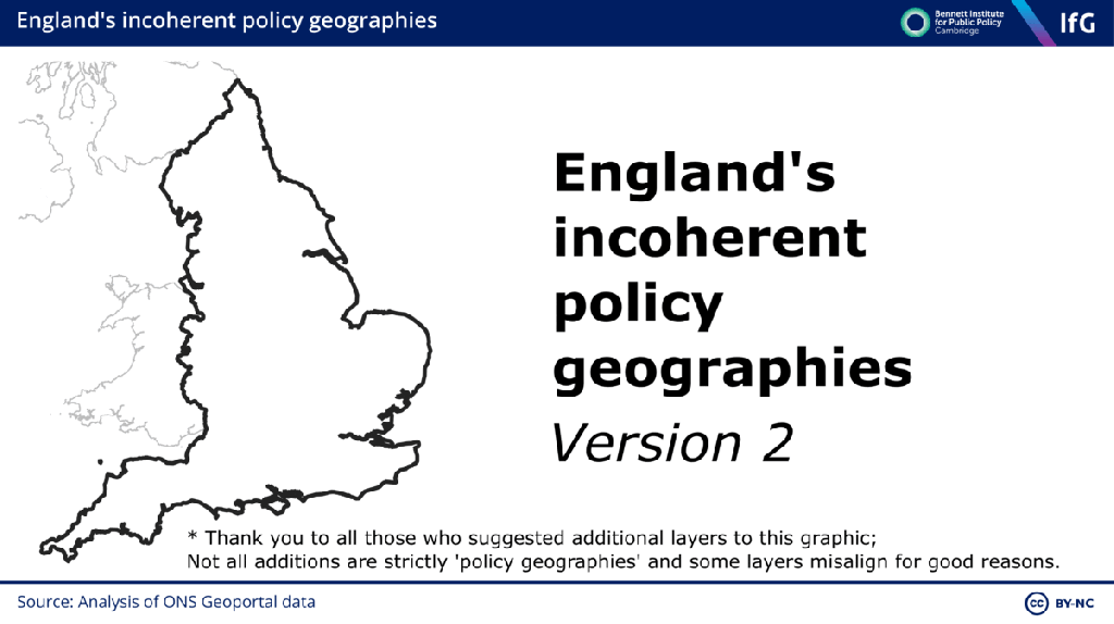
This graphic shows England’s various policy geographies layered on top of each other, demonstrating the misalignment between them. This is an expanded version of the original graphic produced as part of a 2023 report on ‘Devolving English Government‘ for the Institute for Government and Bennett Institute for Public Policy.
Incoherent policy geographies v1
Feb 2023
This graphic shows 13 policy geographies layered on top of each other, demonstrating the misalignment between them. It was produced as part of a 2023 report on ‘Devolving English Government‘ for the Institute for Government and Bennett Institute for Public Policy.
More to follow…
Outputs
Philosophy of social science blog
Contact:
jack.newman@manchester.ac.uk
LinkedIn, Staff Profile, Bluesky
